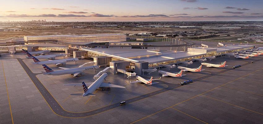
12d Model provides a solution for the design, construction and analysis of new airports, as well as the upgrade and maintenance of existing runways and airport infrastructure.
Easily manage large airport infrastructure projects and share data across multi-disciplinary teams.
Refer to ‘Surveying’ Dimension.
Carry out earthwork design and analysis. Created staged designs or combine using the “SuperTIN” capabilities of 12d Model. Develop mass haul diagrams and other project documentation.
Layered subgrade creations to assist with materials take-off. Multiple volume reporting options including length, area and exact methods.
Design runways and taxiways using 12d Model’s alignment and earthwork design tools.
12d can be used to model access roads, intersections, hardstands, channels and numerous other elements of airport infrastructure.
Coordinate and grade all non-gravity services and subsurface utilities to ensure sufficient cover and clearance for all. A variety of string types may be used, including Super string conduits, Pipeline strings, Drainage strings and Super Alignments. Designs can be exported to GIS for future reference and use.
Design drainage systems which are directly linked to the civil design. The impact of the design changes on the drainage design can be immediately assessed.
Create overland flow models. Calculate and display extent of ponding at sags and flooded widths/depths/velocities along overland flow paths. Highlight critical areas. Fully integrated in 3-D with the terrain model. Analysis options available in 1-D and 2-D.
The 3-D design is automatically/continuously created and can be viewed at any stage of the design process to provide instant real life representation of the project. This is enhanced by:
Automate the production of reports and drawings (plans, cross-sections and long-sections) and reduce drafting times.