Multimedia
YouTube Playlist - Land Development
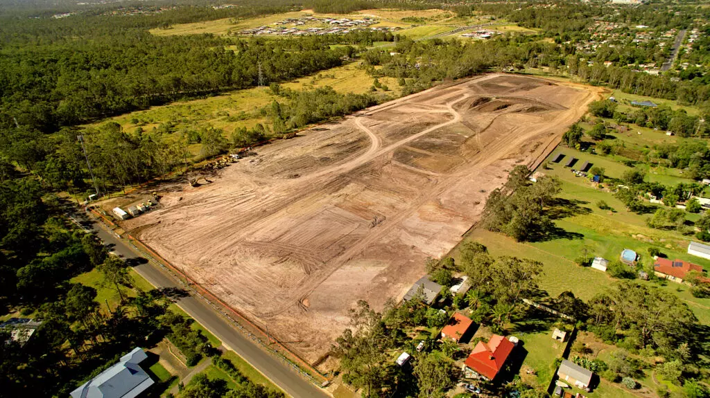
12d Model is the most versatile solution for the creation of sustainable land development projects, including residential, commercial and industrial developments, recreational areas, landfills, and agriculture projects.
Easily manage all aspects of your land development project from earthwork quantities, road design utilities and drainage design.
Refer to ‘Surveying’ Dimension.
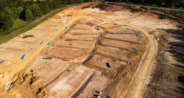
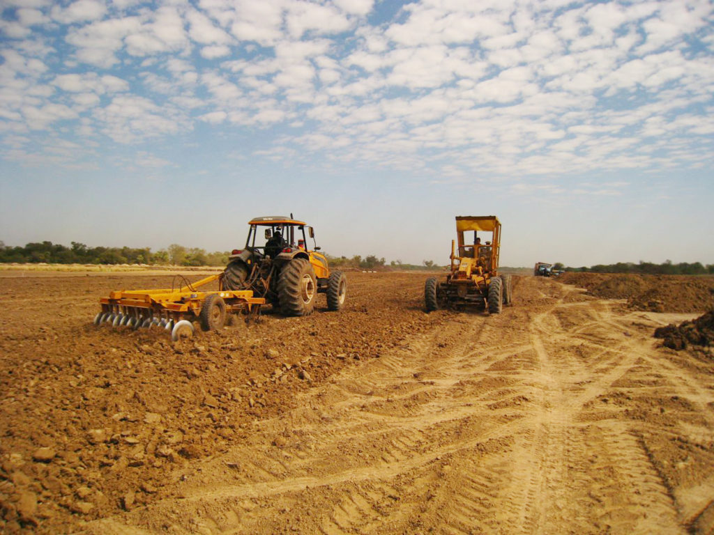
Carry out earthwork design and analysis. Created staged designs or combine using the “SuperTIN” capabilities of 12d Model. Develop mass haul diagrams and other project documentation.
Layered subgrade creations to assist with materials take-off. Multiple volume reporting options including length, area and exact methods.
The lot design feature enables the optimisation of lot areas as well as labelling automation for sizes and dimensions. It interfaces directly with the 12d Field for set out.
Further to 12d Models ‘Road and Highways’ features, 12d provides "Create Roads Manager" which enables the design of multiple roads including intersection and grading. This feature, like many others within 12d, can be simply re-calculated if the road layout or lot layout changes.
Coordinate and grade all non-gravity services and subsurface utilities to ensure sufficient cover and clearance for all. A variety of string types may be used, including Super string conduits, Pipeline strings, Drainage strings and Super Alignments. Designs can be exported to GIS for future reference and use.
Create overland flow models. Calculate and display extent of ponding at sags and flooded widths/depths/velocities along overland flow paths. Highlight critical areas. Fully integrated in 3-D with the terrain model, road design and underground drainage networks. Analysis options available in 1-D and 2-D.
Analyse, design, grade and size drainage networks (pits/pipes/culverts/channels). Integrated in 3-D with terrain model, road design, crossing services, and hydrological models. HGL analysis available using the rational method and dynamic hydrograph methods. Use of 3rd party drainage analysis software is also supported.
The 3-D design is automatically/continuously created and can be viewed at any stage of the design process to provide instant real life representation of the project. This is enhanced by:
Automate the production of reports and drawings (plans, cross-sections and long-sections) and reduce drafting times.